Ficheiro:Mar Negro.png
De CriaçãoWiki, a enciclopédia da ciência da criação.
Saltar para a navegaçãoSaltar para a pesquisa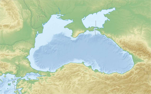
Sem resolução maior disponível.
Mar_Negro.png (532 × 330 píxeis, tamanho: 249 kB, tipo MIME: image/png)
Summary
Description English: Location map of the Black Sea. Projection: Cylindrical equidistant projection, standard parallel 43.5° N Area of interest: N: 48° N S: 39° N W: 44° E E: 24° E GMT projection: -JQ34/43.5/15c GMT region: -R24/44/39/48 Land, shoreline and borders: 1:10m Natural Earth Datasets DEM: GMRT Date 15 February 2012 Source Own work Author Tentotwo
Copyright status:
This file is licensed under the Creative Commons Attribution-Share Alike 3.0 Unported license. You are free: • to share – to copy, distribute and transmit the work. • to remix – to adapt the work Under the following conditions: • attribution – You must attribute the work in the manner specified by the author or licensor (but not in any way that suggests that they endorse you or your use of the work). • share alike – If you alter, transform, or build upon this work, you may distribute the resulting work only under the same or similar license to this one. | |||||||||||
Source:
http://commons.wikimedia.org/wiki/File:Black_Sea_relief_location_map.svg
Histórico do ficheiro
Clique uma data e hora para ver o ficheiro tal como ele se encontrava nessa altura.
| Data e hora | Miniatura | Dimensões | Utilizador | Comentário | |
|---|---|---|---|---|---|
| atual | 22h28min de 28 de abril de 2015 | | 532 × 330 (249 kB) | Luiz Alexandre Silva | Description English: Location map of the Black Sea. Projection: Cylindrical equidistant projection, standard parallel 43.5° N Area of interest: N: 48° N S: 39° N W: 44° E E: 24° E GMT projection: -JQ34/43.5/15c GMT region: -R24/44/39/48 Land, shorel |
Utilização local do ficheiro
A seguinte página usa este ficheiro: