File:Fran Church.JPG
From CreationWiki, the encyclopedia of creation science
Jump to navigationJump to search
Size of this preview: 504 × 599 pixels. Other resolution: 756 × 899 pixels.
Original file (756 × 899 pixels, file size: 128 KB, MIME type: image/jpeg)
|
This image was uploaded to the shared "Image Pool" and is usable on any CreationWiki site. |
File history
Click on a date/time to view the file as it appeared at that time.
| Date/Time | Thumbnail | Dimensions | User | Comment | |
|---|---|---|---|---|---|
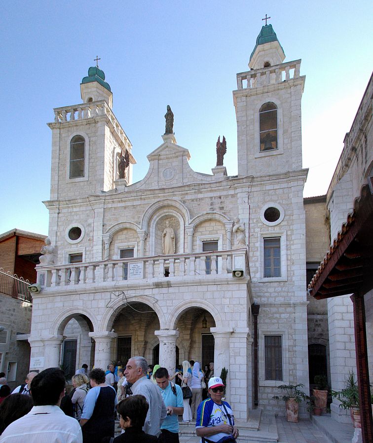
| current | 06:01, 4 January 2018 | | 756 × 899 (128 KB) | Gracehopf | Camera location 32° 44′ 49.35″ N, 35° 20′ 18.43″ E Kartographer map based on OpenStreetMap. View this and other nearby images on: OpenStreetMap - Google Earth info Description English: Weddingchurch in Kafr Kanna Deutsch: Hochzeitskirche in... |
File usage
The following page uses this file: